Home >  Produits >  Earth and Life Sciences >  Earth science >  Models and kits

 
We invite you to login to add references to your favorites.

 
Choisissez un modèle pour pouvoir sélectionner un favori


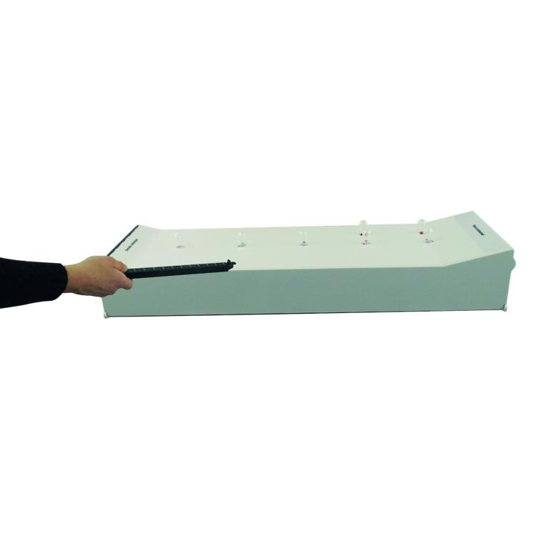
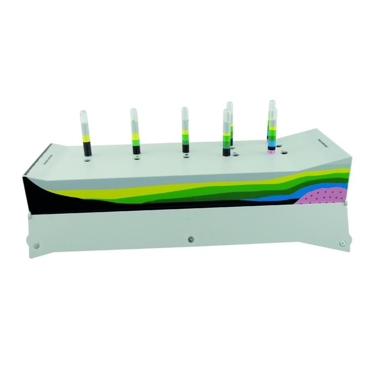
"Evidence of ocean expansion" model

from
Réf.
162,40 € inc. VAT

- +

The first model to show how geological maps are made!
La dynamique de la lithosphère
La structure du globe terrestre
La chronologie relative

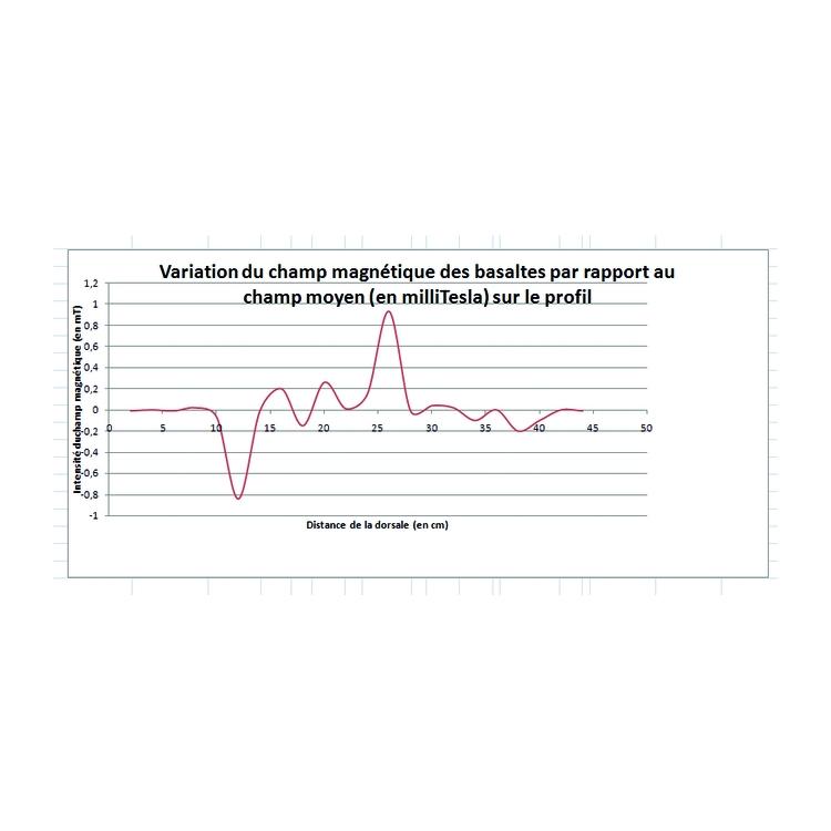
A model, 2 training sessions to understand how researchers have proved the reality of ocean expansion and to better understand the paleomagnetism and ocean sedimentation maps made by these scientists.

Proposed activities:

  • Make a magnetic profile and translate it in the form of a magnetic reversal band. Associate all the data in the form of a map.
  • Carry out a series of bores, deduce the layout of the sedimentary layers in depth by performing a cross section. Translate the results in the form of a map.

    Once these activities have been carried out, the good understanding of maps and profiles makes it easier to interpret the results and calculate the speed of expansion.

    Description of the model:
    The model represents an ocean bed from the ridge to the continental shelf. It incorporates a band with magnetic inversions (magnets) that students must measure.The profite obtained models magnetic anomalies of the ocean crust.
    A set of cores judiciously distributed on the ocean floor leads students to deduce the sectional arrangement of sediments deposited on the oceanic crust and thus to show how these results validate the hypothesis of ocean expansion. A removable side flap provides access to a cross section view (self-correction).

    Dimensions: L 60 x D 10 X H 20.5 cm
    Weight: 2 Kg


MY COMPARATOR ( / 5)